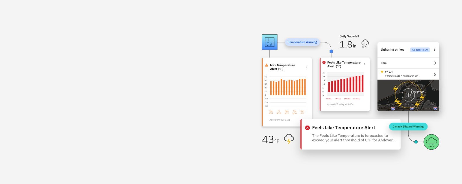
Year after year, as weather and climate events increase in severity, so do the financial risks for businesses. Monitoring and understanding weather conditions has become essential to business continuity, and reliable meteorological data is crucial to being able to prepare for severe weather before it can disrupt your functionality.
The IBM® Environmental Intelligence Suite provides real-time monitoring of weather conditions to help you predict the potential impact of climate and weather risks. By combining weather data inputs, climate risk analytics and carbon accounting capabilities, the suite's environmental monitoring services give you the tools you need to make the decisions that can keep your business operational.
With its monitoring capabilities, the IBM Environmental Intelligence Suite delivers real-time weather monitoring and alerting, helps your teams accurately track key points of interest and keeps them safe when deployed.
A robust catalog of cloud-based, industry-standard APIs provides accurate and precise hyperlocal weather data and imagery.
A modeling framework and application builder enables you to customize climate adaptation solutions that fit your business needs.
Detect and mitigate the impact of climate change on your enterprise using artificial intelligence and high-resolution satellite imagery
Gain climate intelligence with analysis tools such as hazard breakdown, MVaR, geographical data, and risk severity level to help safeguard your business assets.
Combined geospatial, GHG emissions and industry-specific data delivers accurate, actionable information about your complete environment.