About cookies on this site Our websites require some cookies to function properly (required). In addition, other cookies may be used with your consent to analyze site usage, improve the user experience and for advertising. For more information, please review your options. By visiting our website, you agree to our processing of information as described in IBM’sprivacy statement. To provide a smooth navigation, your cookie preferences will be shared across the IBM web domains listed here.
Analytics
Uncover insights with data collection, organization, and analysis.
Analytics technology aggregates and analyzes data sets to find meaningful patterns and information that can improve decision-making.
19 September 2025
Open Project
Spark
Apache Spark - A unified analytics engine for large-scale data processing

19 September 2025
Open Project
pandas
Flexible and powerful data analysis / manipulation library for Python, providing labeled data structures similar to R data.frame objects, statistical functions, and much more
19 September 2025
Open Project
Presto
The official home of the Presto distributed SQL query engine for big data
03 April 2025
Article
Burn scar detection and its role in wildfire recovery
Learn how burn scar detection uses satellite imagery, AI, and geospatial data to map wildfire damage, aid recovery, prevent erosion, and restore ecosystems.

06 March 2025
Article
Addressing scope 3 emissions for sustainable future
Learn about Scope 3 emissions, their impact on supply chain sustainability, challenges in reduction, and strategies for businesses to cut carbon footprint.

21 February 2025
Article
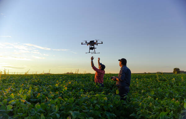
Using weather insights to boost agricultural productivity
Discover how weather data improves farming efficiency by optimizing planting, irrigation, pest control, and harvest timing for better crop yield and sustainability.
07 February 2025
Blog
Role of harmonized satellite data in climate prediction
Discover how harmonized satellite data improves climate predictions, tracks extreme weather, monitors sea-level rise, and supports global climate adaptation.
07 February 2025
Article
Forest biomass mapping and its impact on climate change mitigation
Discover how biomass mapping helps estimate carbon storage, track forest health, support carbon trading, and drive climate action with advanced technology.