Technical Blog Post
Abstract
Changing layer IDs of already configured service layers
Body
During a ArcGIS configuration, layer IDs can be changed accidentally, which could cause you a series of issues, such as linked records not showing the blue marker or auto-create functionalities not working properly. To rectify this issue, there are two available options:
1. Editing your Map Service on the GIS side and setting its layer IDs to their previous values.
2. Editing your Map Manager record in Maximo in order to reflect the changes done on the Map Service.
In this document, we will cover option number 2, and fix the issue through Maximo.
For this example, we'll correct the ID of the WO and SR layers, which are with the wrong ID after a change on the GIS side.
Here are the steps:
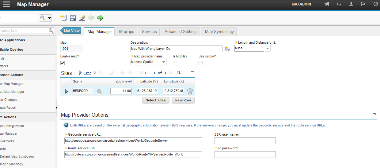
1. Go to Map Manager application.

2. Open the Map Manager record which has your Map Service configured.
3. Scroll down to the Map Services section and expand the line which has the layers with wrong IDs.
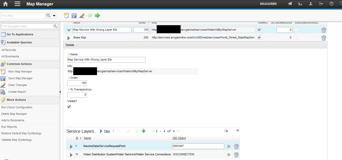
4. Scroll down to the Service Layers section and repopulate the ID fields with the values that correspond to their respective layers in the Map Service.
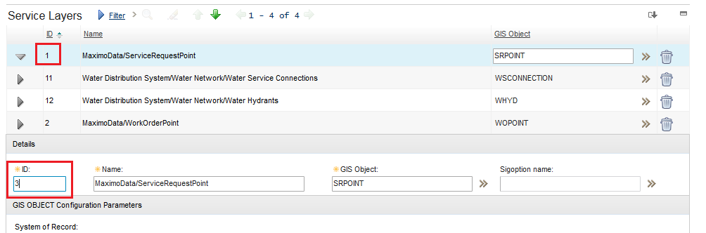
Changing the ID of SR layer:
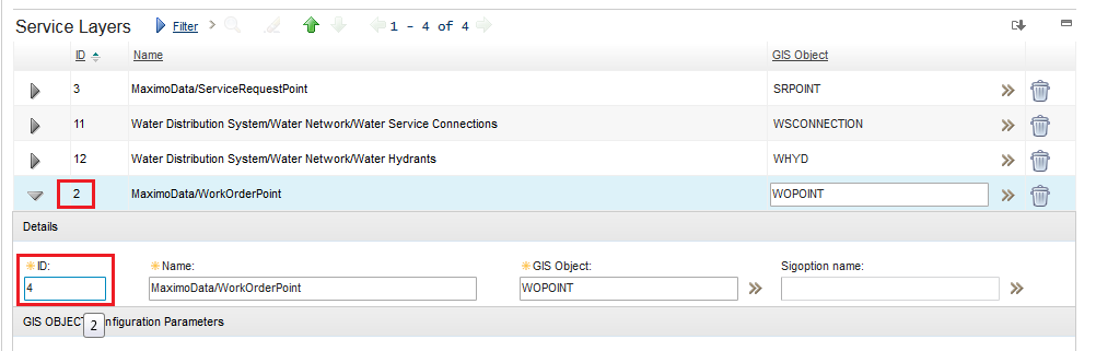
Changing the ID of WO layer:
Attention: the next steps are only mandatory if you have Inbound/Outbound/Response JSON Mappers configured in your service layers.
5. Go to End Points application.
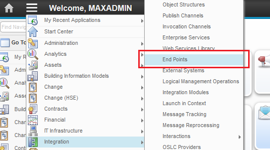
6. Filter the records by the name of your GIS objects which had their layer IDs changed.

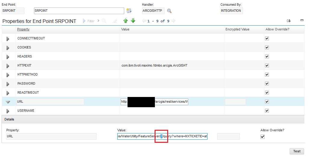
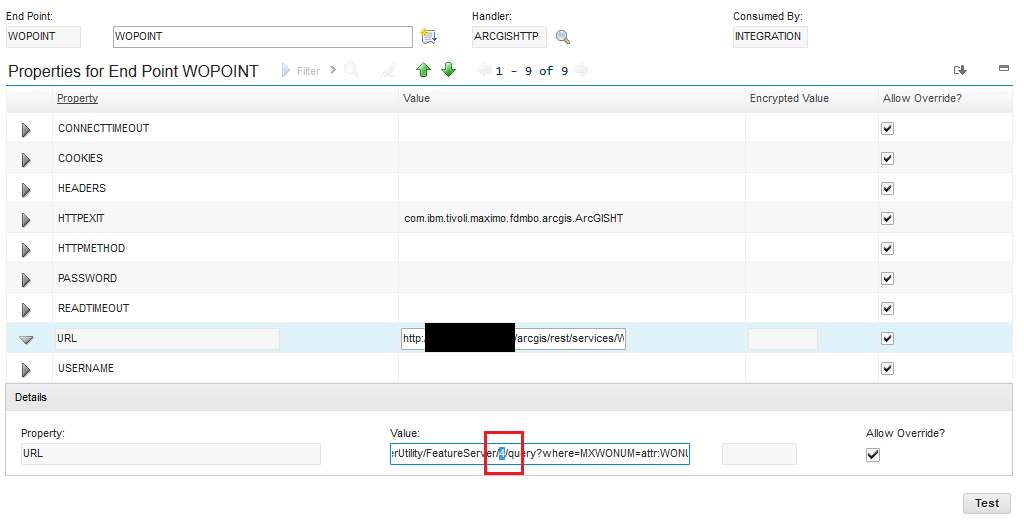
7. Open each one of them, update their URL values and save.
Changing the ID of SR layer:
 Changing ID of WO layer:
 Example:
Old ID: http://<Map Service Address>/arcgis/rest/services/<Map Service Name>/FeatureServer/20/query?where=FACILITYID=attr:FACILITYID&outfields=*&f=pjson
New ID: http://<Map Service Address>/arcgis/rest/services/<Map Service Name>/FeatureServer/22/query?where=FACILITYID=attr:FACILITYID&outfields=*&f=pjson
Obs: just change the number that corresponds to the layer ID, don't change anything else.
And now you're good to go! All your layers should be working properly after that.
UID
ibm11113069